Normal Font
Large Font
Larger Font
Normal Colour
Black & Yellow Colour
Skip to content
Accessibility
Text Size:
Normal
Large
Larger
Screen Colours:
Normal
Black & Yellow
Minsmere Levels
Home
Newsletters
Sizewell C
Post Examination submissions
Statement of Common Ground and Representations
DCO Hearings
Consultation Responses
Additional Documents
Discharge of Requirements
MLSG History
Draining of Minsmere Levels
MLSG Meeting Minutes
Public Meetings
Gallery
2018 Levels
2013 Tide Surge
2007/2008 Flooding
Minsmere and Coast Maps
Subscribe To MLSG
Donate
Useful Links
News Posts
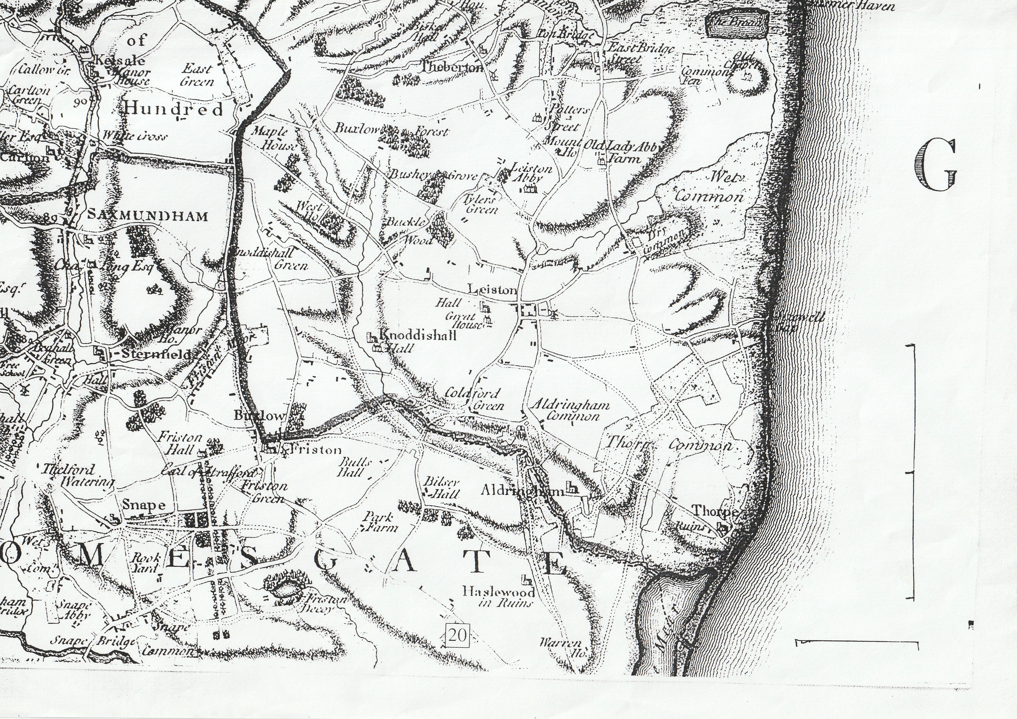
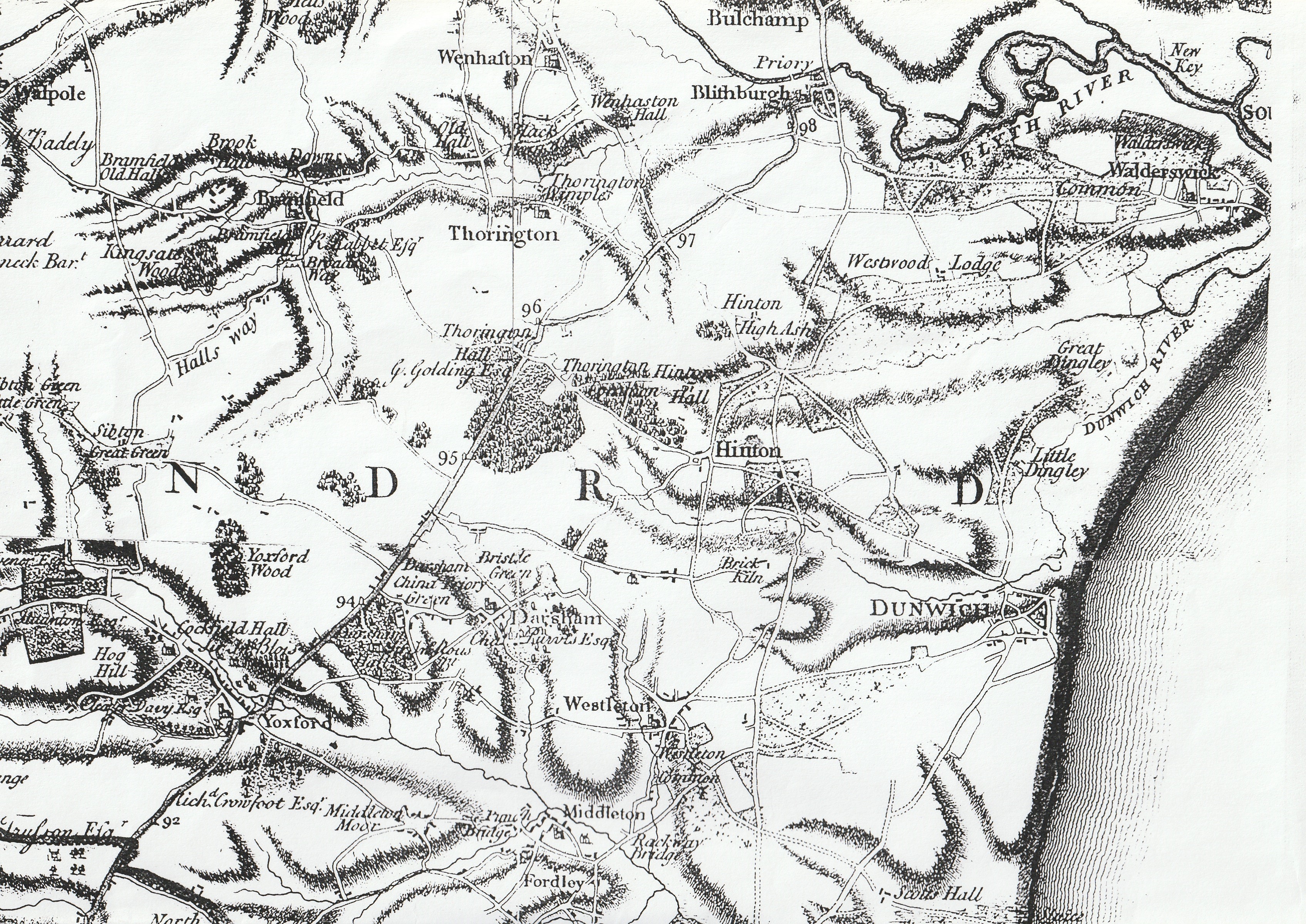
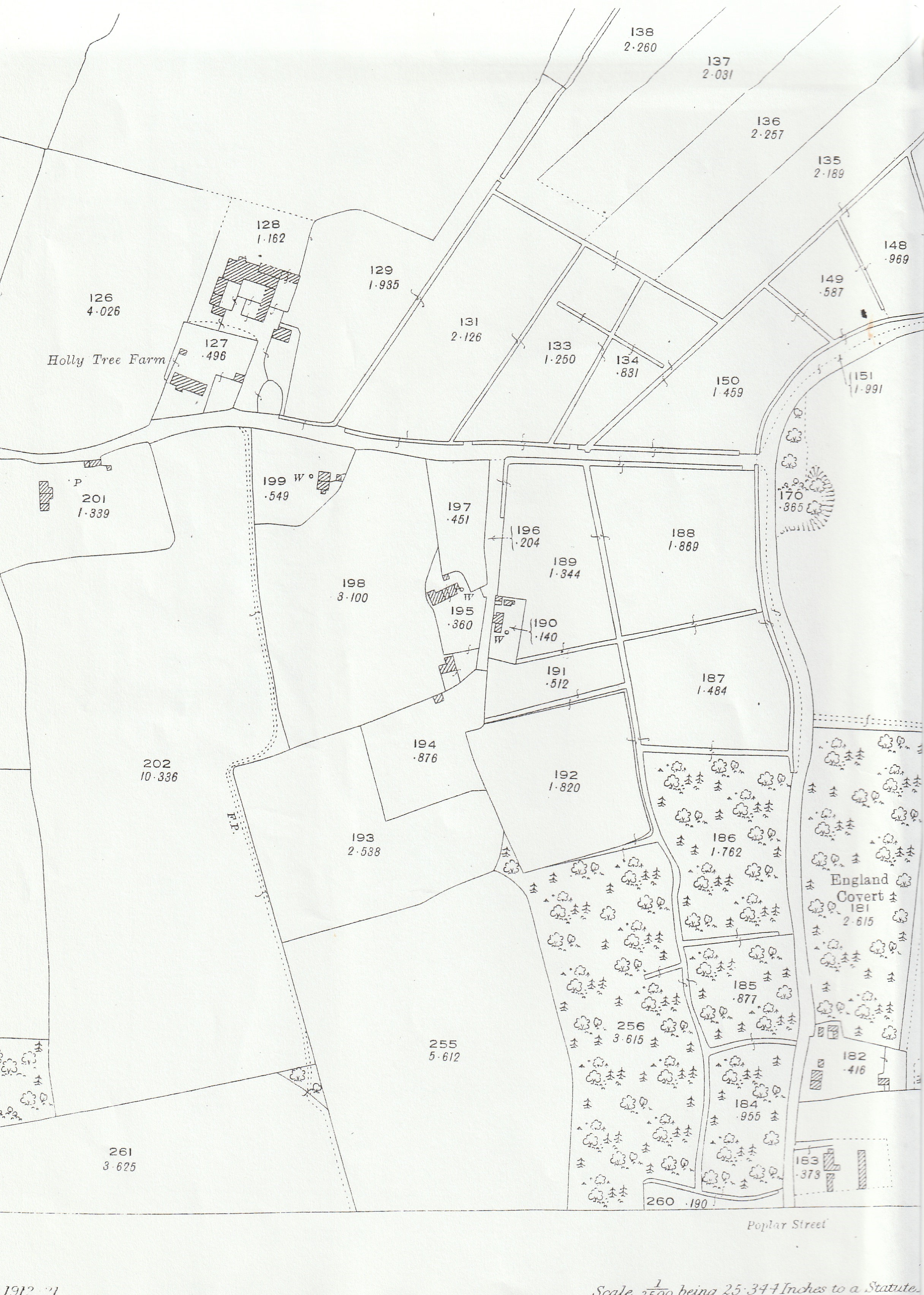
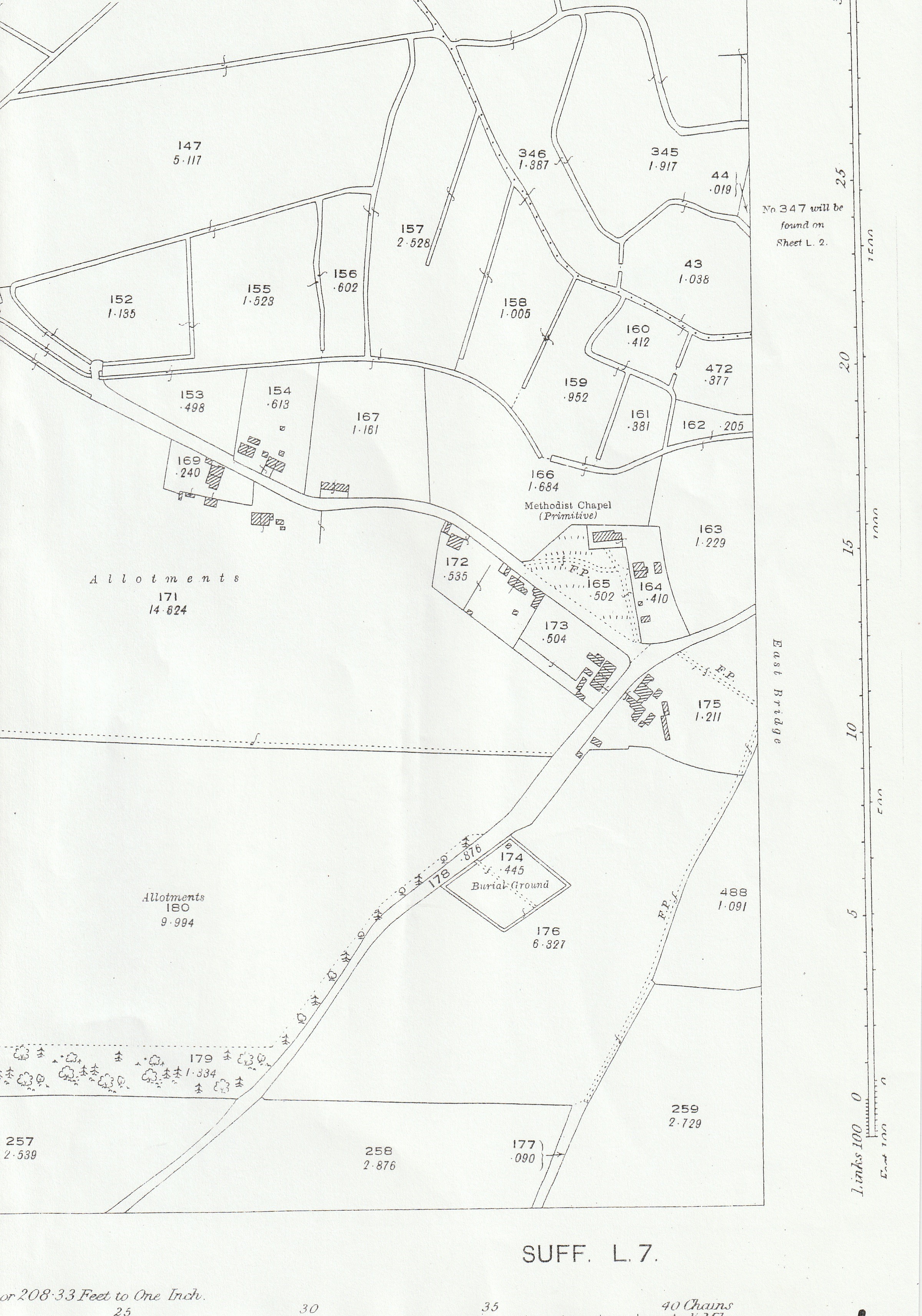
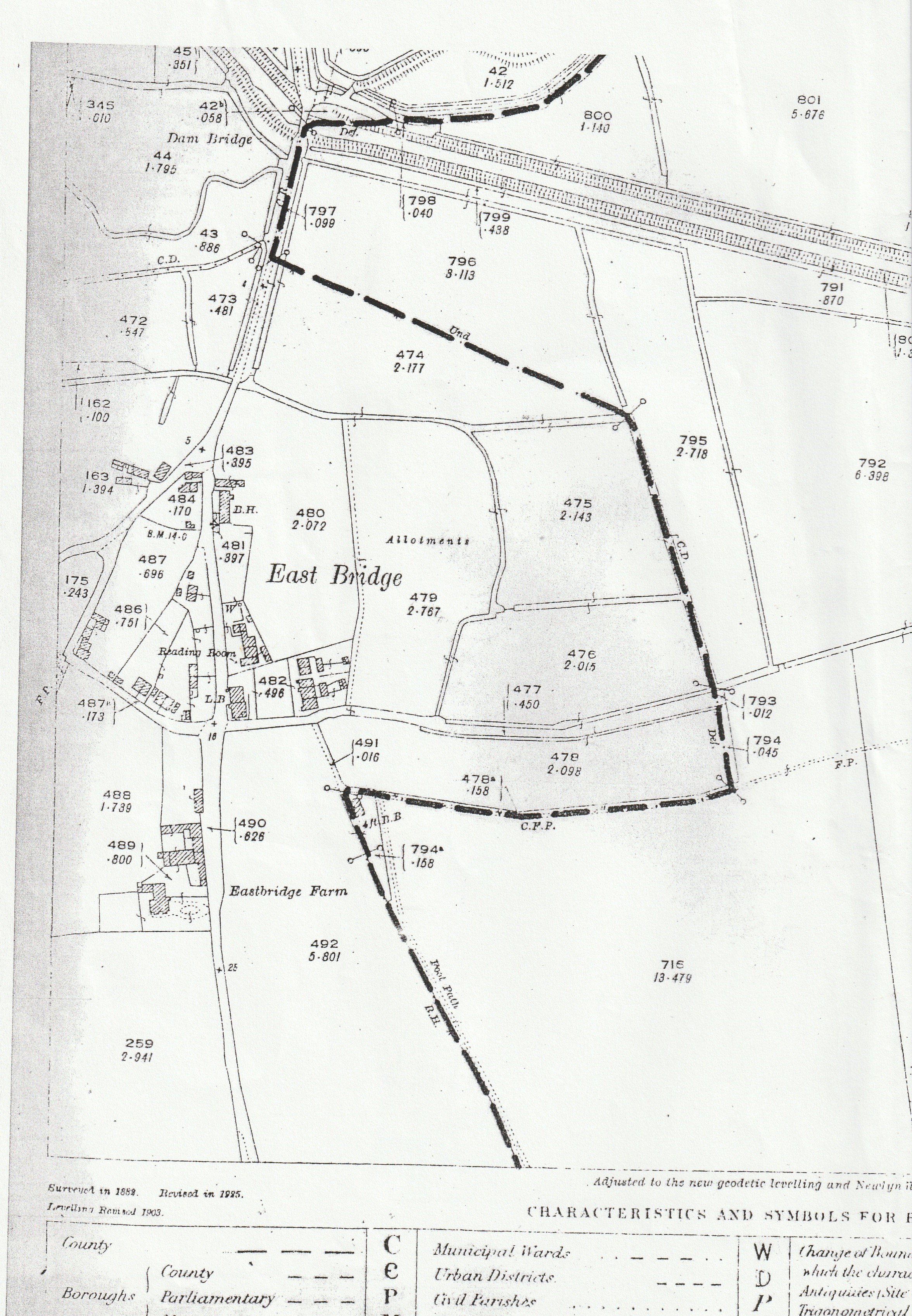
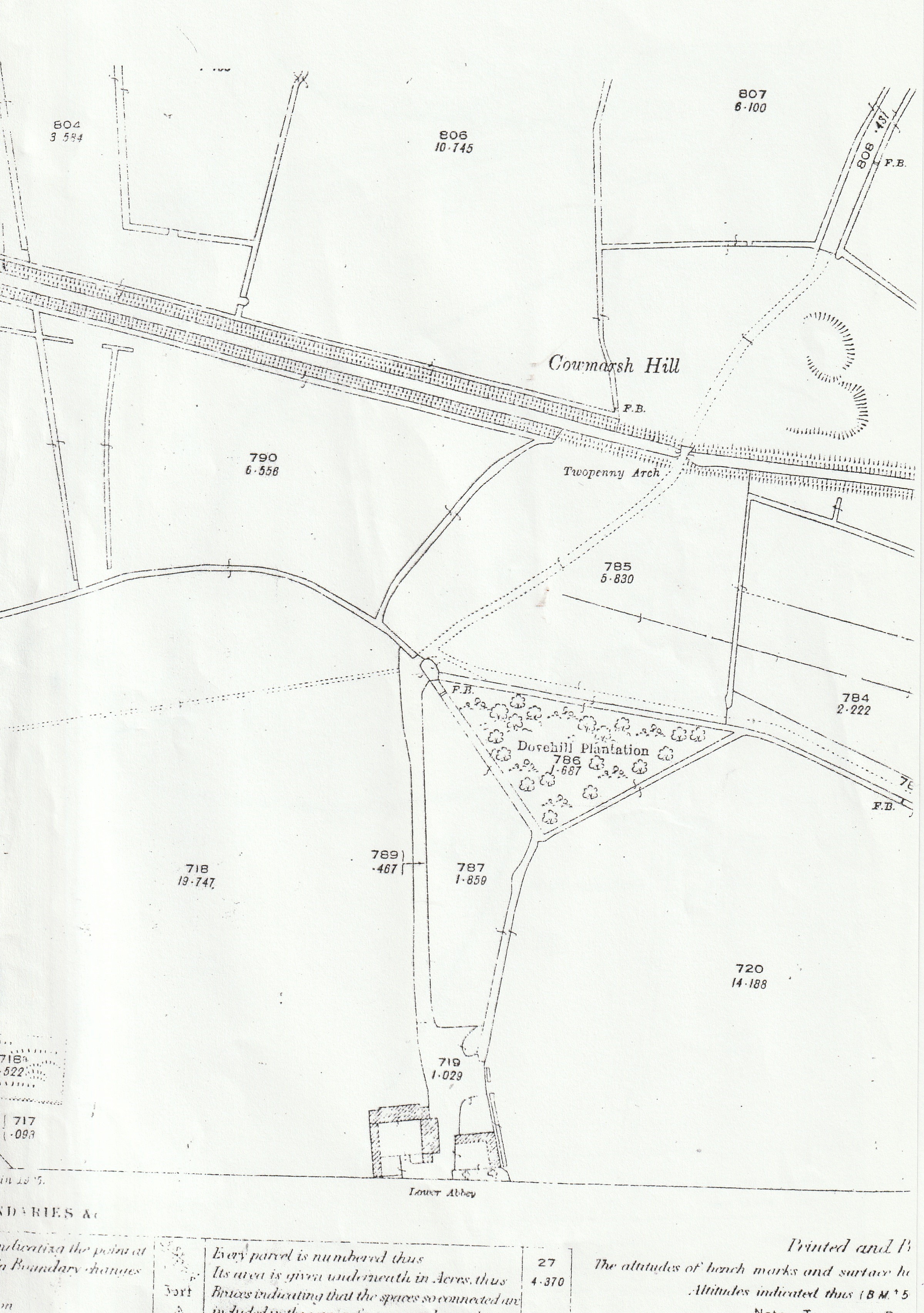
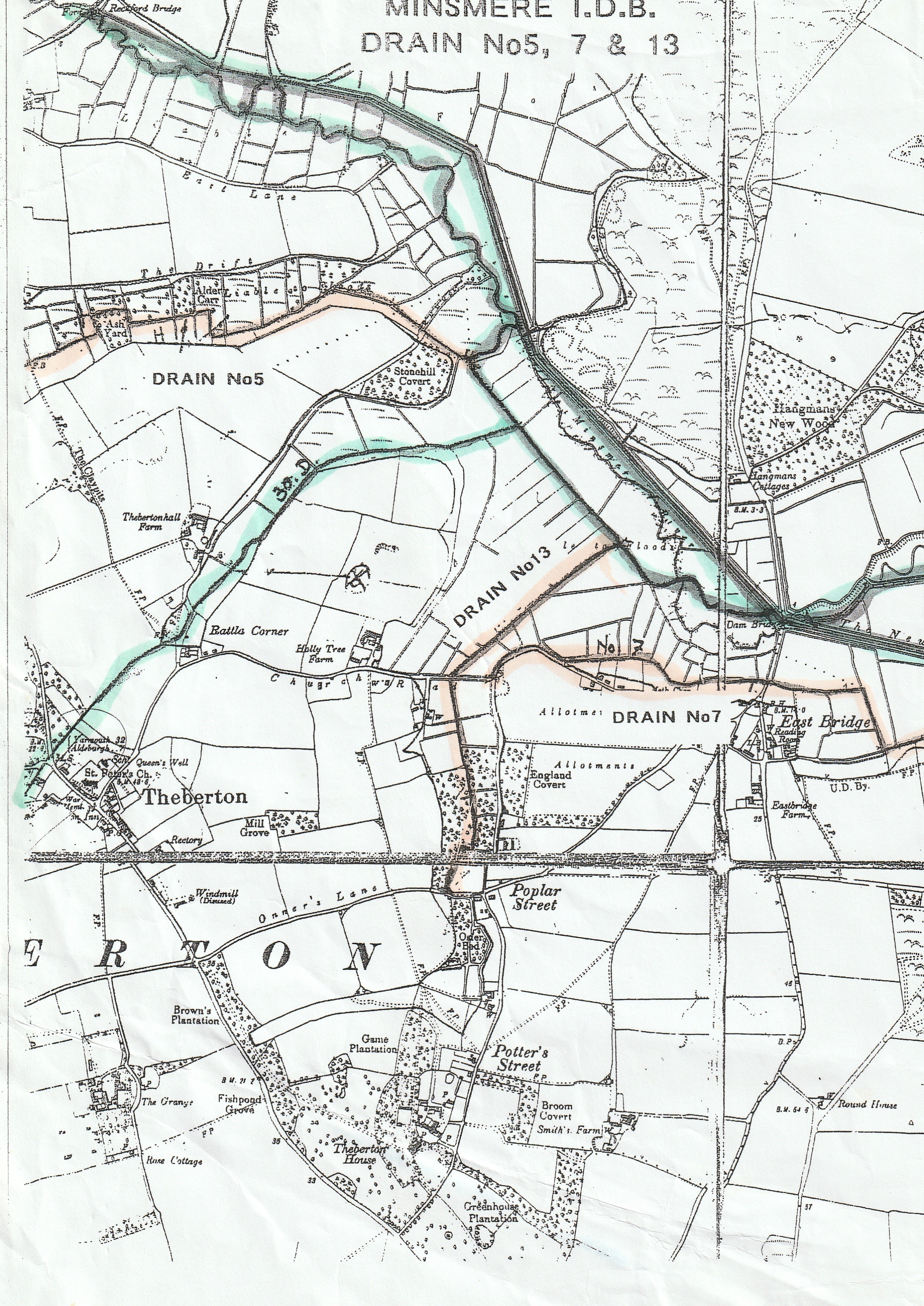
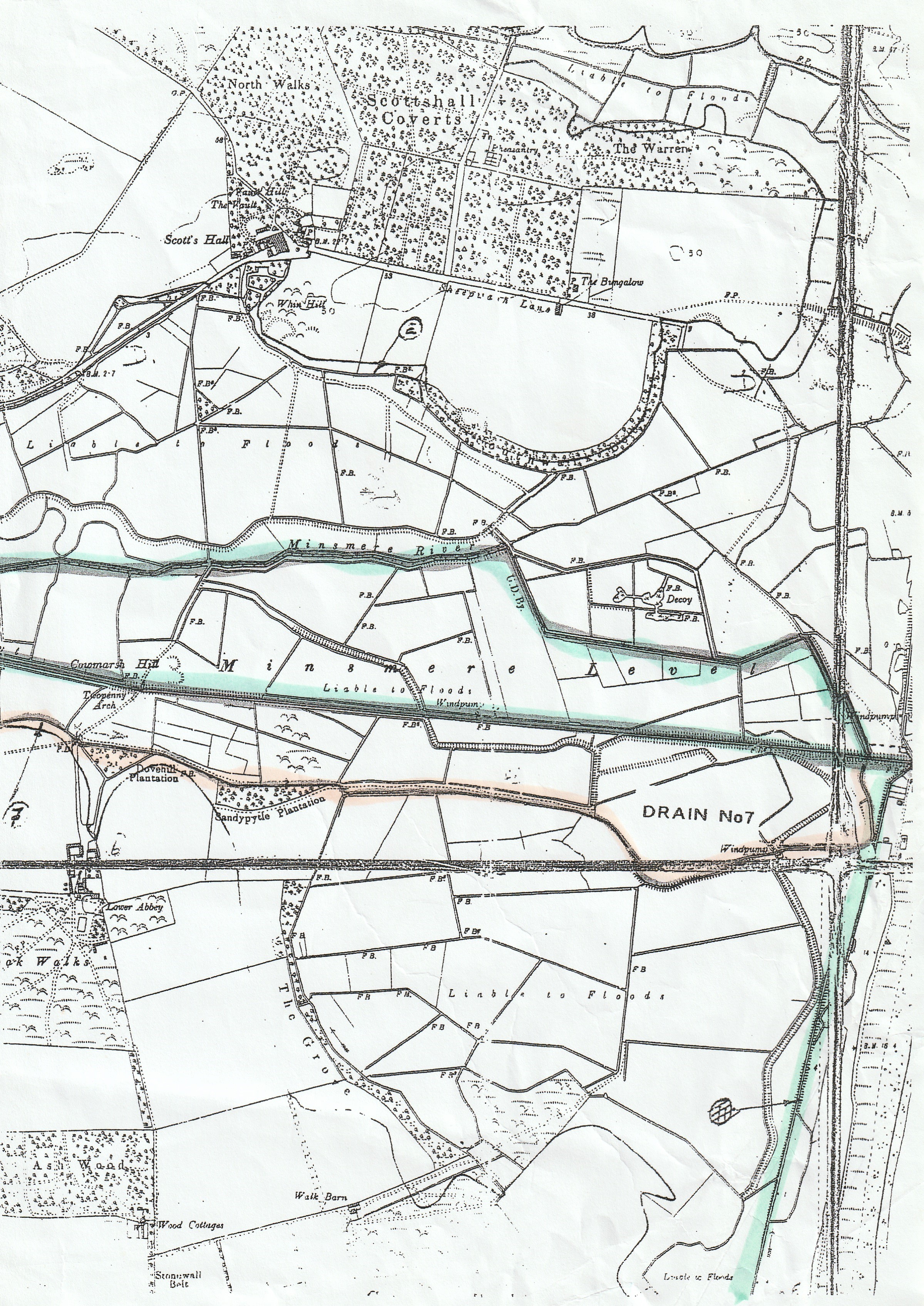
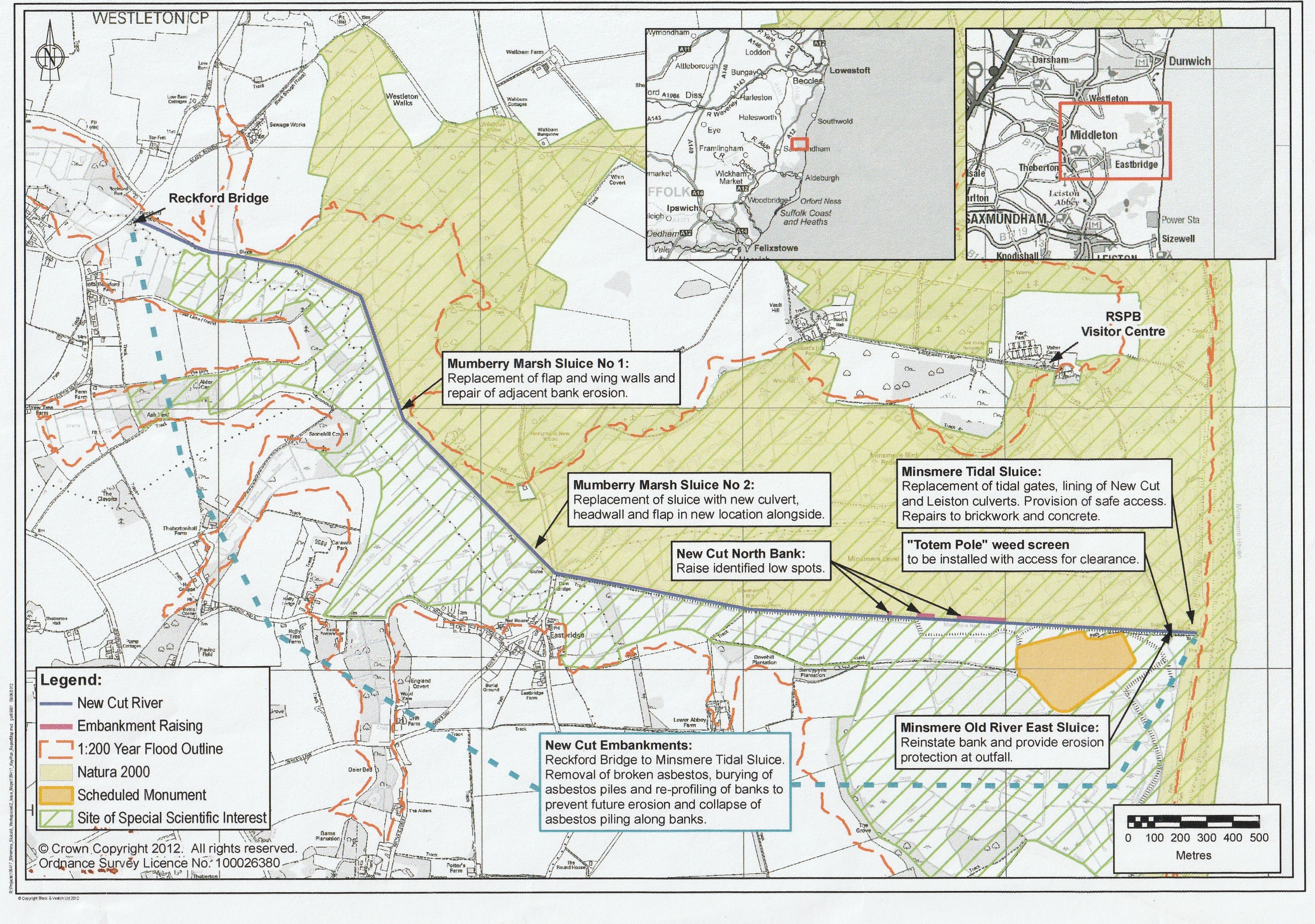
Minsmere and Coast Maps
Gallery
» Minsmere and Coast Maps